Updated October 16, 2026: The Bryson Fire broke out near Encinal Canyon Road in Malibu on Thursday, October 15, as Southern California faced dangerous Santa Ana winds and a Red Flag Warning. The latest official incident update located for this report, posted by CAL FIRE at 9:35 p.m. on October 15, listed the fire at approximately 200 acres with 0% containment. These are time-stamped figures, not a live status report; conditions and evacuation zones can change quickly.
Residents should follow official evacuation instructions, not social-media rumors. Los Angeles County listed evacuation orders for zones KAN-U017 and SYC-U016-A in its October 15 update, with warnings in additional nearby zones. Check the live evacuation map and official county alerts before making decisions.
What we know about the Bryson Fire
- Location: Near Encinal Canyon Road in Malibu, Los Angeles County.
- Reported size: About 200 acres in CAL FIRE's late-evening October 15 update.
- Containment: 0% in that same update.
- Cause: Under investigation.
- Evacuations: Orders and warnings were issued for multiple zones; use the current official map to check your address.
The fire's growth came during a high-risk wind event. Los Angeles County warned that gusts of 50 to 70 mph were possible in mountain areas and that strong winds, low humidity and heat could allow fires to spread rapidly. Wind can carry embers ahead of the main fire, which is why residents should not wait until flames are visible before following an evacuation order.
Evacuation orders and warnings: where to check
- CAL FIRE's Bryson Fire incident page — incident facts and posted updates.
- Los Angeles County emergency information — evacuation zones, county alerts and preparedness guidance.
- Genasys Protect evacuation map — check the zone for a specific address.
- City of Malibu news and alerts — local notices and evacuation updates.
An evacuation order means leave immediately. An evacuation warning means a threat may be approaching and residents should prepare to leave. People who need extra time, have pets or require assistance should consider leaving early. If officials order your zone to evacuate, do not delay to collect nonessential belongings.
What Malibu residents should do now
- Confirm your evacuation zone using the official map and keep alerts enabled on your phone.
- Prepare medications, identification, essential documents, chargers, water and supplies for children and pets.
- Plan more than one route out. Wind, smoke, downed trees or power lines can make a familiar road unsafe.
- Keep roads and driveways clear for fire engines and evacuation traffic.
- Stay away from fire areas and never cross barricades. Call 911 for an immediate threat to life or safety.
- Prepare for possible power shutoffs. Keep devices charged and use flashlights rather than candles.
Why the wind matters as much as the acreage
Fire size alone cannot describe the danger to a neighborhood. Strong, shifting winds can push flames through dry vegetation, move embers across roads and complicate aircraft operations. A fire that appears distant can still threaten a community if the wind direction changes. Official evacuation zones, road closures and alerts are more useful to residents than acreage viewed in isolation.
Los Angeles County's fire-weather advisory said critical conditions could persist into Saturday, October 17. The county also warned that public-safety power shutoffs and wind-related outages could affect communications, traffic signals and electrically powered medical equipment. Residents who rely on powered medical devices should make a backup plan and seek help early if an outage could put them at risk.
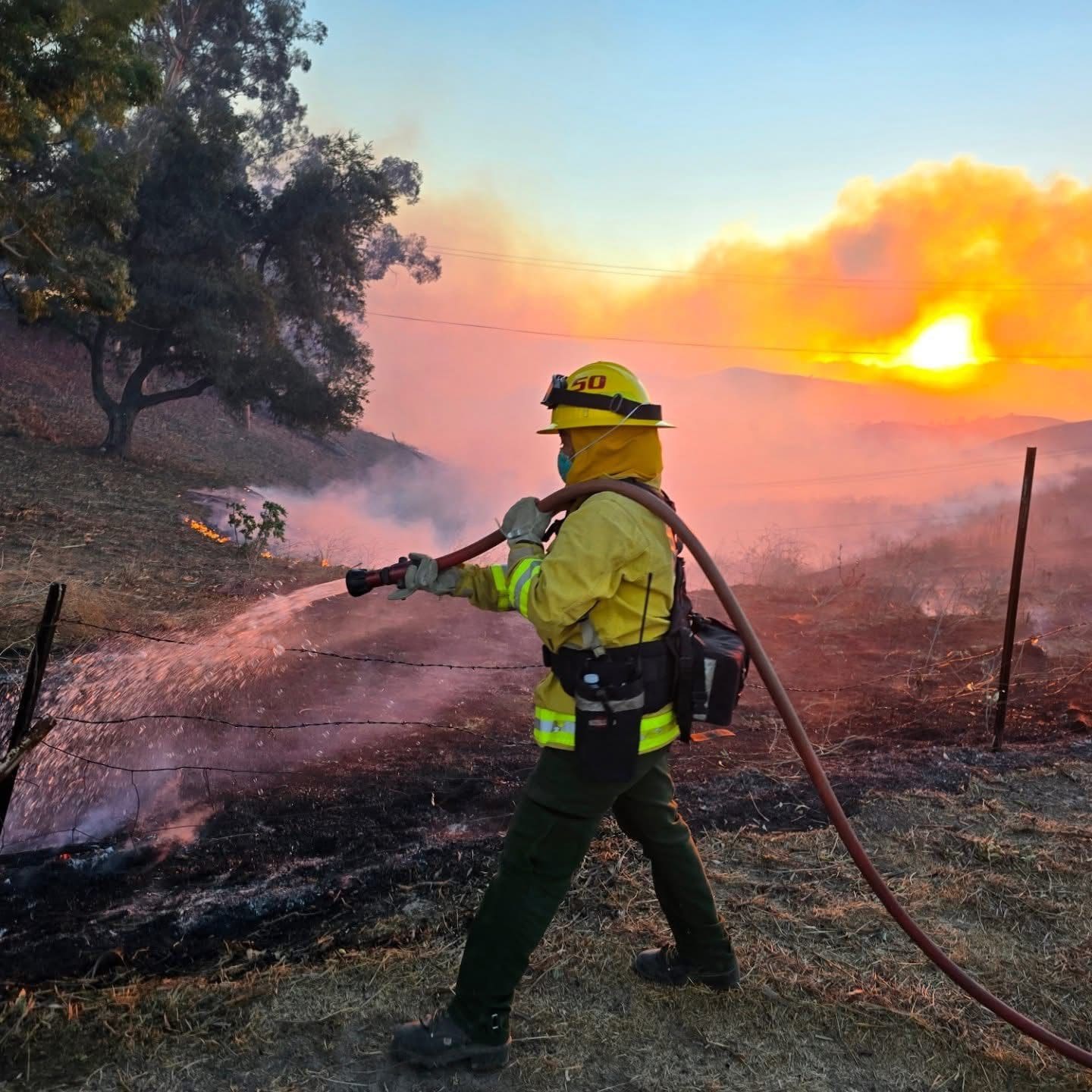
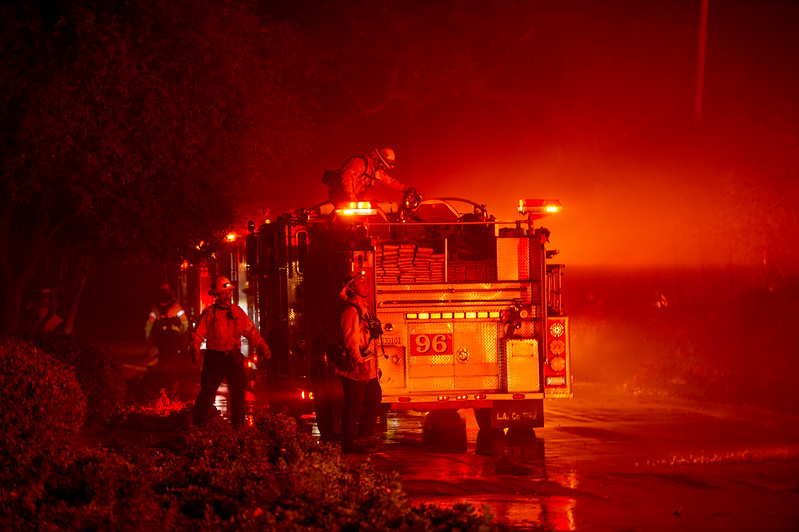
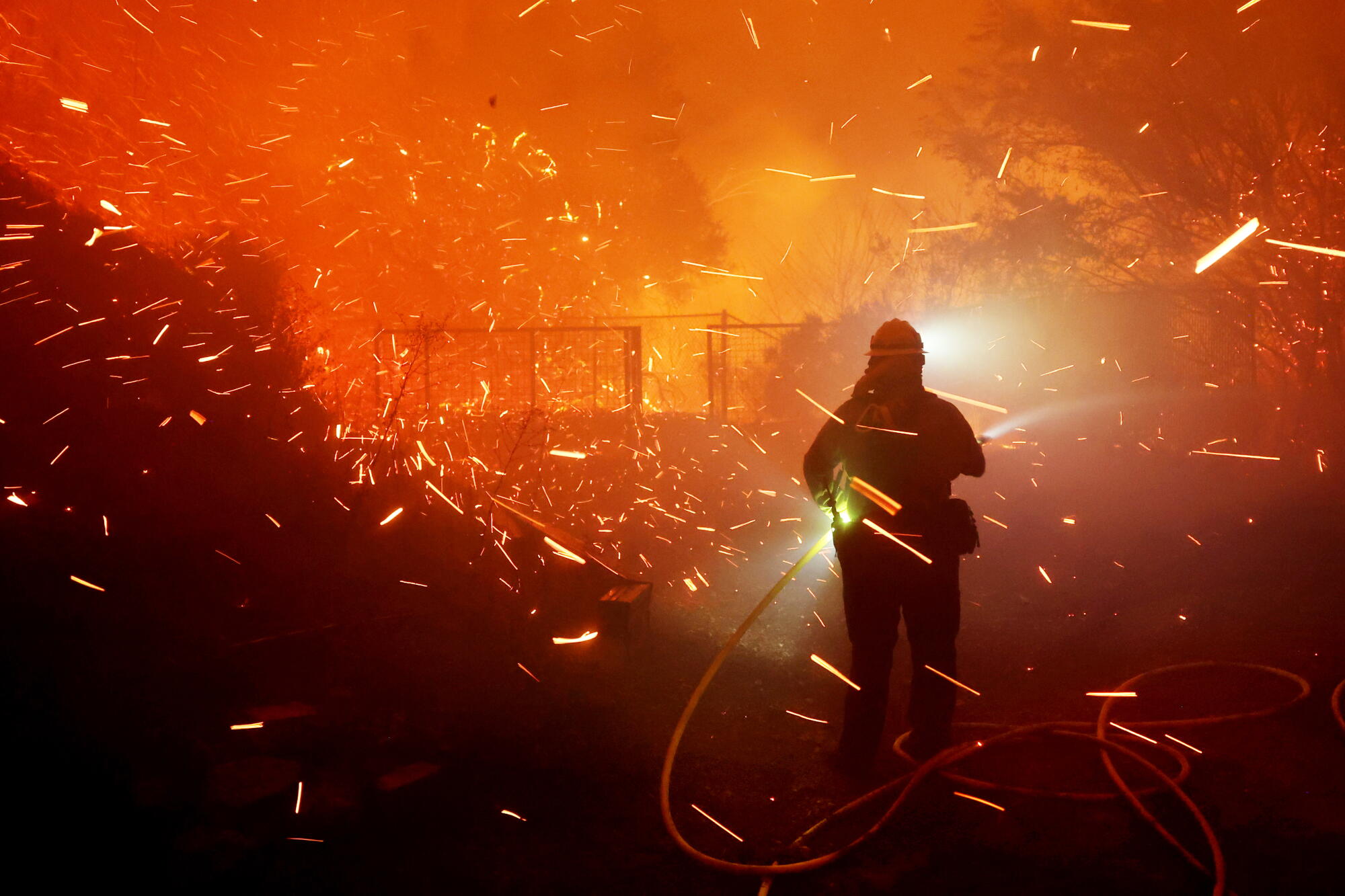
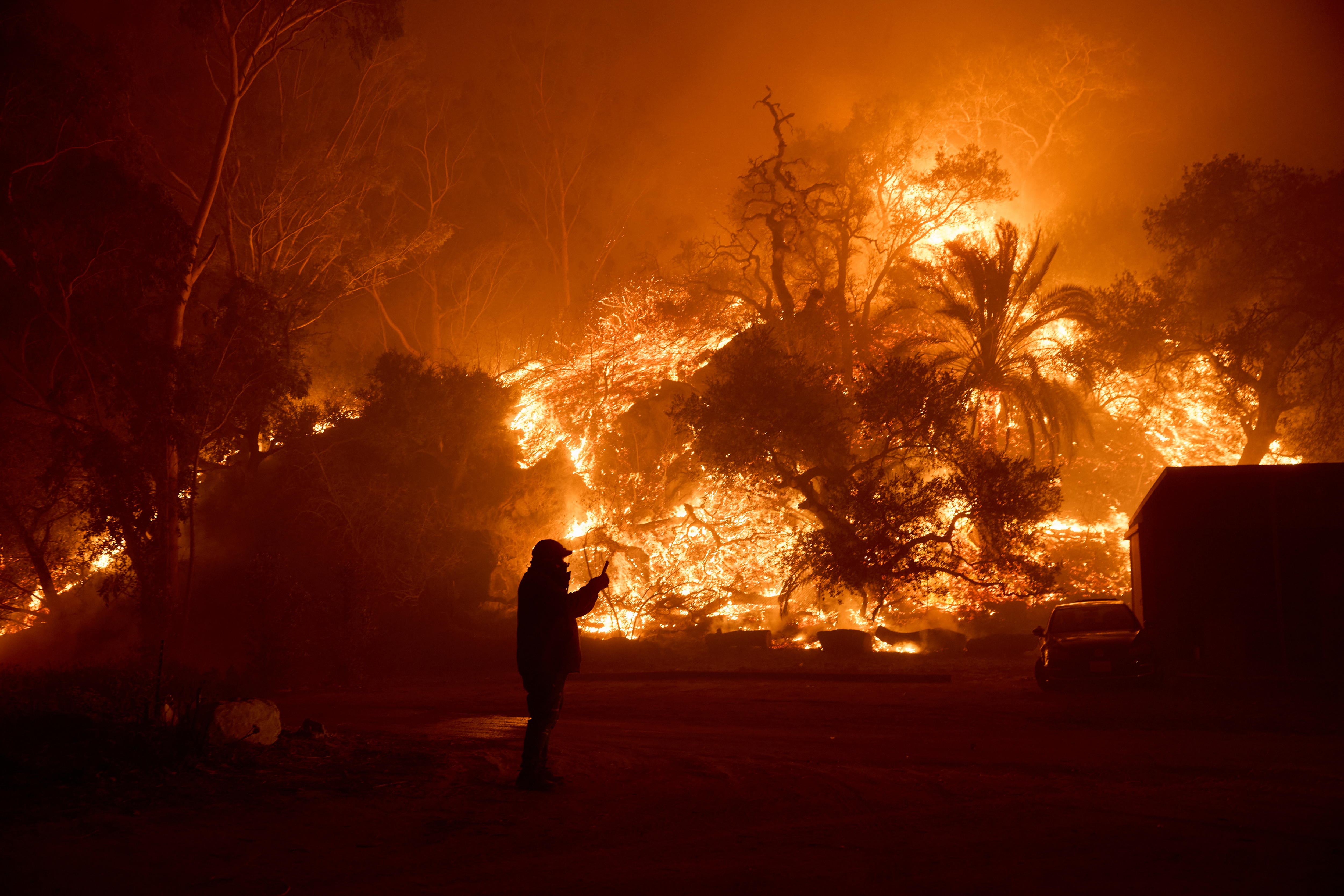
Photo context: earlier Malibu-area wildfire response
Editor's note: These are archival images from earlier Malibu-area wildfires, not photographs of the October 15, 2026 Bryson Fire. They illustrate the region's wildfire-response context only. Obtain permission or confirm reuse terms before republication; use official incident updates for current imagery.

Frequently asked questions
How large was the Bryson Fire?
CAL FIRE's 9:35 p.m. October 15 update listed the fire at approximately 200 acres. The size can change, so consult the incident page for the latest posted report.
How much of the Bryson Fire was contained?
The latest official update located for this article listed 0% containment at 9:35 p.m. on October 15. This figure may have changed since then.
Which areas were under evacuation orders?
Los Angeles County's October 15 update listed orders for KAN-U017 and SYC-U016-A, alongside warnings in other zones. Check the current Genasys map because zones may be added, changed or cleared.
Is the fire's cause known?
No. CAL FIRE listed the cause as under investigation in the incident information reviewed for this report.
Where can residents get reliable updates?
Use CAL FIRE, Los Angeles County's emergency page, the Genasys evacuation map and the City of Malibu's official alerts. Do not rely on unverified posts for evacuation decisions.
Sources and continuing updates
- CAL FIRE — Bryson Fire
- Los Angeles County — Emergency information
- City of Malibu — News flashes
- LAist — Bryson Fire prompts evacuation warnings
- Associated Press — Southern California brush fires and high-wind risks
Reporting note: This article reflects official information available at the time of review on October 16, 2026. Evacuation information is time-sensitive; official instructions take precedence over this report.